7 Must-See Day Hikes on the North Rim of the Grand Canyon
In: Trail Notes
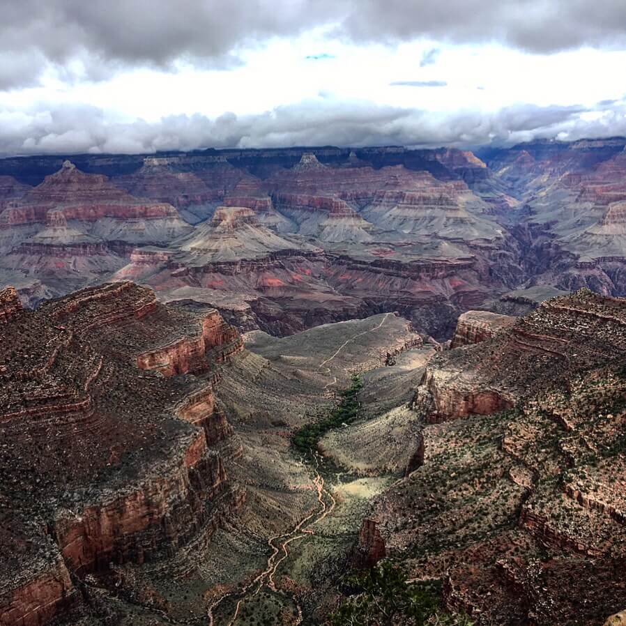
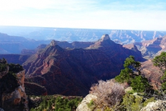
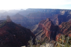
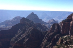
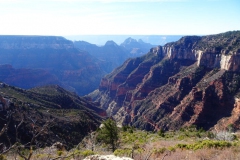
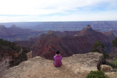
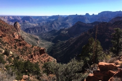
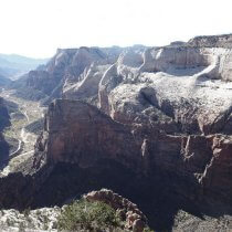
Each year, over five million visitors experience the awe-inspiring Grand Canyon, with most seeing it from the South Rim, accessible via car at popular overlooks like Grand Canyon Village, Hermits Rest, and Desert View. However, fewer people explore the North Rim, which lies roughly 10 miles (16 km) across the canyon from the South Rim. So, is hiking the North Rim truly worth it? In my opinion, absolutely! I’ve had the privilege of hiking numerous trails on the North Rim, as well as making several trips to the canyon’s base. The experience is mesmerizing, and it leaves me speechless every time. Exploring the North Rim provides a rare chance to escape the crowds and discover a completely different perspective of this majestic landmark.
What Do I Need to Know Before I Start?
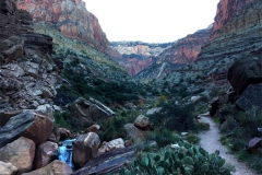
Hiking the North Rim of the Grand Canyon is physically and mentally demanding. The combination of ambient temperature, elevation, and the intense exertion of long, steep trails can significantly increase the physiological strain on your body. With its 4,000 to 5,000-foot descents and ascents, canyon hiking is much more challenging than traveling the same distance on level ground or in cooler conditions. Preparing properly for these strenuous hikes is crucial to ensure a safe and enjoyable experience.
Is Physical Conditioning Important?
Physical conditioning plays a key role in making your hiking experience safer and more enjoyable. With proper fitness, you’re well on your way to success. Along with physical strength, a positive attitude is essential. The canyon can throw extreme heat, heavy rains, high winds, or even snow your way, so a flexible mindset and the ability to adapt to changing conditions are vital for a smooth journey.
How Much Water Do I Need to Stay Hydrated?
The inner canyon’s dry and hot air can quickly lead to dehydration. As you hike uphill in the direct sunlight, especially during the hottest parts of the day, fluid and electrolyte loss can exceed 2 quarts per hour. To prevent dehydration, it’s essential to drink plenty of water and eat salty snacks. I make it a habit to hydrate several days before heading out and always carry at least several liters of water, depending on the hike.
Popular Trails on the North Rim
- Nankoweap Trail (Strenuous)
- Distance: 27.8 miles (out and back) / 8.3 miles to Marion Point
- The Nankoweap Trail is one of the Grand Canyon’s most challenging trails, offering the greatest elevation loss from the rim to the river. It requires route-finding skills, good judgment, and significant planning, with rocky terrain and narrow paths along steep cliffs. This trail can be accessed from the West or North Rim, and it rewards hikers with breathtaking views.
- Ken Patrick Trail (Moderately Easy)
- Distance: 10 miles
- The Ken Patrick Trail offers cool, shaded forests and stunning panoramic views of the canyon. It follows the East Rim of the Kaibab Plateau, with the 3-mile segment from Point Imperial to Cape Royal Road providing dramatic vistas into Nankoweap Creek Canyon.
- Cape Final Trail (Easy)
- Distance: 4 miles (out and back)
- This easy trail offers a quick and rewarding hike with panoramic views of the Grand Canyon. It’s an excellent choice for a short hike or an overnight trip, especially during summer when the inner canyon experiences extreme heat.
- Cliff Springs Trail (Easy)
- Distance: 2 miles (out and back)
- A short yet fascinating hike, the Cliff Springs Trail leads to an Ancestral Pueblo granary and a hidden spring below the rim of the Walhalla Plateau. It’s a great option for visitors with limited time or those seeking an introduction to the North Rim’s landscapes.
- Widforss Trail (Moderate)
- Distance: 9.8 miles (out and back)
- The Widforss Trail is one of the North Rim’s finest hikes, passing through shady forests and offering incredible canyon views. It’s popular with both day hikers and backpackers, and it offers a peaceful escape from the summer heat of the inner canyon.
- Uncle Jim Trail (Moderate)
- Distance: 4 miles (out and back)
- This trail traverses the cool forests of the Kaibab Plateau and provides stunning views of Roaring Springs Canyon. It’s a great option for a short hike and a good alternative when the summer heat becomes unbearable in the inner canyon.
- North Kaibab Trail – Ribbon Falls (Strenuous)
- Distance: 12 miles (round-trip)
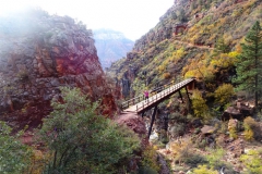
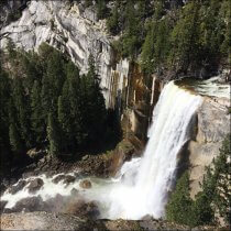
- As the North Rim’s only maintained trail, the North Kaibab Trail offers one of the most iconic Grand Canyon experiences. It leads to Ribbon Falls, a stunning oasis with a cascading waterfall nestled in the canyon. This trail provides a classic view of the Grand Canyon’s diverse ecosystems and dramatic landscapes.
Whether you’re after a short, easy stroll or a challenging descent to the canyon floor, the North Rim offers a variety of hiking experiences for every skill level. The trails provide unparalleled views, solitude, and a chance to experience the Grand Canyon in a whole new way.
More information and the latest updates, please visit NPS website.
